Ground-penetrating radar for geoarchaeology
Book information
Description
There has long been a strong collaboration between geologists and archaeologists, and the sub-field of geoarchaeology is well developed as a discipline in its own right. This book now bridges the gap between those fields and the geophysical technique of ground-penetrating radar (GPR), which allows for three-dimensional analysis of the ground to visualize both geological and archaeological materials. This method has the ability to produce images of the ground that display complex packages of materials, and allows researchers to integrate sedimentary units, soils and associated archaeological features in ways not possible using standard excavation techniques. The ability of GPR to visualize all these buried units can help archaeologists place ancient people within the landscapes and environments of their time, and understand their burial and preservation phenomena in three-dimensions. Readership Advanced students in archaeology and geoarchaeology, as well as practicing archaeologists with an interest in GPS techniques
Similar books

Сейсмическое микрорайонирование территорий городов, населенных пунктов и больших строительных площадок

Георадиолокация для строителей и не только для них

Решение структурных задач инженерной геологии и геоэкологии геофизическими методами

Сейсмическое микрорайонирование особо ответственных объектов

Инженерная сейсмика в криолитозоне (изучение строения и свойств мерзлых и талых горных пород и массивов)

Industrial Safety and Life Cycle Engineering. Technologies, Standarts, Applications

Георадиолокационные исследования верхней части разреза
DJVU
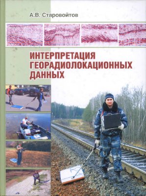
Интерпретация георадиолокационных данных
DJVU